
Related Manuals for Kenwood DNX9170DABS


Summary of Contents for Kenwood DNX9170DABS
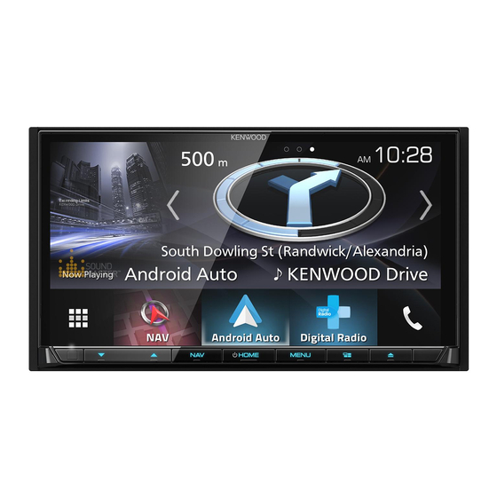
- Page 1 DNX9170DABS DNX5170S GPS NAVIGATION SYSTEM INSTRUCTION MANUAL © 2017 JVC KENWOOD Corporation IM392_Nav_X_En_00...
- Page 2 INSTALLING, COPYING, OR OTHERWISE USING YOUR Software License Agreement NAVIGATION SOLUTION OR CONTENT CONSTITUTES YOUR BY USING THE DNX9170DABS / DNX5170S, YOU AGREE TO ACKNOWLEDGMENT THAT YOU HAVE READ THIS LICENSE BE BOUND BY THE TERMS AND CONDITIONS OF THE AGREEMENT AND AGREE TO ITS TERMS AND FOLLOWING SOFTWARE LICENSE AGREEMENT.
- Page 3 No Warranty. The Navigation Provider Products are provided to NOT EXCEED $1.00. Some States, Territories and Countries do you "as is," and you agree to use them at your own risk. The not allow certain liability exclusions or damages limitations, so to Navigation Provider and its licensors including the licensors, that extent the above may not apply to you.
- Page 4 governmental or regulatory authorities, and in the case of HERE 1995) (DOD commercial computer software definition), DFARS Data, as further set forth at http://corporate.navteq.com/supplier 27.7202-1 (DOD policy on commercial computer software), FAR _terms.html. 52.227-19 (JUN 1987) (commercial computer software clause for civilian agencies), DFARS 252.227-7015 (NOV 1995) (DOD Term.
-
Page 5: Table Of Contents
Table of Contents Taking a Detour ........5 Stopping the Route ......5 Using Suggested Routes ....5 Getting Started ........ 1 About Exit Services ......... 5 Navigation System ........1 Finding Exit Services ......5 Status Bar Icons ........1 Navigating to an Exit ...... - Page 6 Viewing Previous Routes and Destinations ........... 10 Customizing the Device ....10 Map and Vehicle Settings ...... 10 Enabling Maps ........10 Navigation Settings ........ 10 Changing the Route Calculation Mode ..........11 Display Settings ........11 Changing the Color Mode ....11 Units and Time Settings ......
-
Page 7: Getting Started
Select Save. WARNING See the Safety Precautions and Important Adding a Shortcut Information in the KENWOOD system You can add shortcuts to the Where To? instruction manual for product warnings and menu. A shortcut can point to a location, a other important information. -
Page 8: Finding A Location By Category
Finding a Location by Category • To search for coordinates, enter latitude and longitude coordinates. Select Where To?. Select an option: Select a category, or select Categories. • To search using a suggested search If necessary, select a subcategory. term, select the term. Select a location. -
Page 9: Finding A City
Finding a City Finding a Location Using Quick Search Select Where To? > Categories > Cities. After you have performed a search for a point of interest, certain categories may Select an option: display a Quick Search list that displays the •... -
Page 10: Setting A Simulated Location
Select a parking location. • Select Categories to assign categories to the saved location. Setting a Simulated Location • Select Change Map Symbol to change the symbol used to mark the If you are indoors or not receiving satellite saved location on a map. signals, you can use the GPS to set a simulated location. -
Page 11: Using The Map
Using Suggested Routes Garmin and JVC KENWOOD will not be Before you can use this feature, you must responsible for any traffic fines or citations save at least one location and enable the... -
Page 12: About Custom Avoidances
About Custom Avoidances Taking a Detour Before you can take a detour, you must be Custom avoidances allow you to avoid navigating a route. specific areas and sections of road. You can You can take a detour for a specified enable and disable custom avoidances as distance along your route or detour around needed. -
Page 13: Map Pages
Map Pages • Select Track Up to display the map in two dimensions (2-D), with your direction of travel at the top. Customizing the Map • Select North Up to display the map in Customizing the Map Layers 2-D with north at the top. You can customize which data appear on •... -
Page 14: Getting Directions To Your Current Location
About ecoRoute NOTE: If you make frequent stops, leave the device turned on, so it can accurately The ecoRoute ™ feature calculates the fuel measure elapsed time during the trip. economy and the fuel price of navigating to From the map, select Speed. a destination, and offers tools for improving fuel efficiency. -
Page 15: Viewing Fuel Economy Information
Navigating to a Saved Trip Exporting a Mileage Report Select Apps > Trip Planner. Connect a USB mass storage device to your KENWOOD unit. Select a saved trip. Select Apps > ecoRoute™ > Mileage Select Go!. Report. -
Page 16: Saving Trip Logs
NOTE: Trip log data is saved as a .gpx file. myMaps: Sets which installed maps the device uses. Connect a USB mass storage device to your KENWOOD unit. Enabling Maps Select Apps > My Data > Manage Trip You can enable map products installed on Log. - Page 17 If necessary, select a settings category. Settings Select > Restore. To open the Language and Keyboard settings, from the main menu, select Select Yes. Settings > Language & Keyboard. NOTE: To change the text language settings, see the KENWOOD system instruction manual. Customizing the Device...
- Page 18 To download free navigation software updates and purchase updated maps for your product, go to www.garmin.com/kenwood. 190-02187-00_0A...